StreetMap Premium for ArcGIS Middle East and Africa enhanced street dataset is now available. The dataset provides routing, geocoding, and high-quality cartographic display for a number of countries in the Middle East and Africa using ArcGIS for Desktop or ArcGIS for Server. The new release of StreetMap Premium contains street data from NAVTEQ for 73 countries in the Middle East and Africa. You can learn about mapping, geocoding, and routing coverage for a specific country on the product coverage page.
StreetMap Premium for ArcGIS Middle East and Africa is optimized to work with ArcGIS Desktop’s Find Route tool and the ArcGIS Network Analyst extension. The network dataset includes trucking restrictions, impedance options, and historical traffic data.
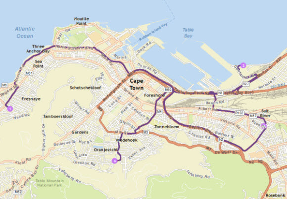
Route with stops in Cape Town, South Africa
StreetMap Premium includes support for geocoding and reverse geocoding addresses in the Middle East and Africa. Individual address locators that are specific to countries in the Middle East and Africa are available, as well as composite locators that support multiple levels of geocoding for individual countries.
Learn more about StreetMap Premium for ArcGIS.