StreetMap Premium for ArcGIS Europe HERE (formerly NAVTEQ) street dataset is now available. The dataset provides routing, geocoding, and high-quality cartographic display for countries in Europe using ArcGIS for Desktop or ArcGIS for Server.
This first release of European data from HERE includes six new travel modes for routing, which can be accessed only through ArcGIS 10.3 for Server or later, GeoProcessing Tools, and Python.
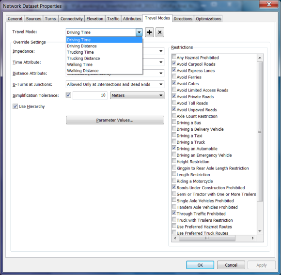
Travel modes for StreetMap Premium for ArcGIS Europe HERE
See What’s new and Release notes for more information on this release.
You can learn about mapping, geocoding, and routing coverage for a specific country at StreetMap Premium product coverage.