A new version of ArcGIS Explorer Desktop (2500) has just been released. This release includes many new features and enhancements which will enable ArcGIS Explorer Desktop to be used effectively in your enterprise, or in conjunction with your ArcGIS Online organization. ArcGIS Explorer Desktop enables you to provide broader access to GIS content and enable self-service mapping using local data and web services in both 2D and 3D modes.
Here’s a summary of what’s new in this latest release.
Presentations
Many enhancements are now available for creating and editing presentations, including new slide transition options, support for audio, and improved slide management.

Presentation improvements also include the following:
- Multiple titles
Multiple titles can be added and controlled in your presentation slides. - New title text placement options
- Pop-up size and placement control
- Update layer visibility across multiple slides
Set layer visibility in one slide, and apply to many slides.
New Text Options
Map text behaves similarly to a Note, and enables the placement of text in styles of your choice in various positions. The position remains in the map space, and when the map is moved the text is also moved.
Overlay text, like an image overlay, is placed on the screen and maintains its position independently of map panning and zooming. Use overlay text when you want your message to stay visible with respect to map navigation.
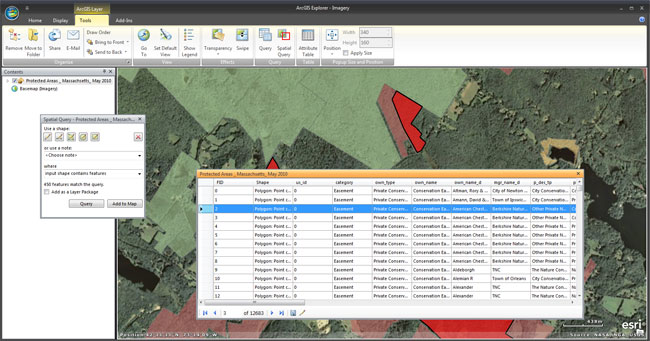
Attribute Display
Attribute display for feature layers is now supported.
Improved Pop-ups
Pop-ups can now be explicitly sized and positioned.

These capabilities are especially useful for fine-tuning presentations, and ensuring the pop-up contents (e.g. web sites and rich media content) fit in the pop-up window.
Search
ArcGIS 10.1 search is now integrated into ArcGIS Explorer Desktop, extending search capabilities to include auto-zoom to text-based locations (e.g., “california”) and the use of synonyms. Explorer 2012 also integrates ArcGIS Online and Portal for ArcGIS search capabilities. Content shared via ArcGIS Online, publicly or via your organization, or private content hosted on your on-premises cloud is not available. Footprints for discovered items can be previewed on the map.
Custom Basemap Gallery Support
 The basemap gallery can now fetch basemaps from your ArcGIS Online organization, or from your on-premises Portal for ArcGIS. If you customize your organization or portal basemap gallery, the custom basemaps will display after you sign-in with your account. The basemap and layer galleries can be customized from within your organization.
New Layer Gallery
The layer gallery enables you to quickly add layers to your map. The layer gallery is customizable via your organization or on-premises portal.
Portability
Local installation is no longer required to use Explorer Desktop, and the application can be run from a thumb drive on any computer that meets the system requirements for build 2012.
And more…
ArcGIS 10.1 updates: Explorer 2500 has been updated to support updated capabilities in layer files, geodatabases, new raster formats, Python label expressions, ArcGIS Online web maps, and more.
For more information and installation instructions see:
- Download ArcGIS Explorer (Build 2500)
- ArcGIS Explorer Desktop Resource Center
- ArcGIS Explorer Desktop on Esri.com