StreetMap Premium for ArcGIS Latin America HERE street dataset is now available. The dataset provides routing, geocoding, and high-quality cartographic display for countries in Latin America using ArcGIS for Desktop or ArcGIS for Server.
This release includes geocoding with suggestions functionality in locators for BRA, CHL, COL, PAN, and VEN when using ArcGIS 10.3.1 for Server. A PointAddress locator for BRA and a StreetIntersection locator for COL are added, as well as a Proximity search function for PointAddress, StreetAddress, and StreetName locators.
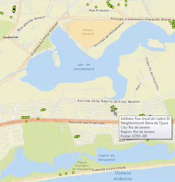
Geocoding in Brazil
For routing, travel modes are available, which can be accessed only through ArcGIS 10.3 for Server or later, GeoProcessing Tools, and Python. The eight travel modes are Driving Time, Driving Distance, Rural Driving Time, Rural Driving Distance, Trucking Time, Trucking Distance, Walking Time, and Walking Distance. Also, there are two new Trucking restrictions: Avoid Toll Roads for Trucks and Avoid Truck Restricted Roads.
See What’s new and Release notes for more information on this release.
You can learn about mapping, geocoding, and routing coverage for a specific country at StreetMap Premium product coverage.